


Breaking news


Keel laying ceremony for the US Navy's eight Pathfinder class survey ship.
According to information published by the US DoD on October 6, 2022, the keel for the Navy’s next Pathfinder class survey ship (T-AGS 67) was ceremonially laid at Halter Marine in Pascagoula, MS. The keel authenticator was Rear Admiral Tom Anderson, Program Executive Officer, Ships.
Follow Navy Recognition on Google News at this link
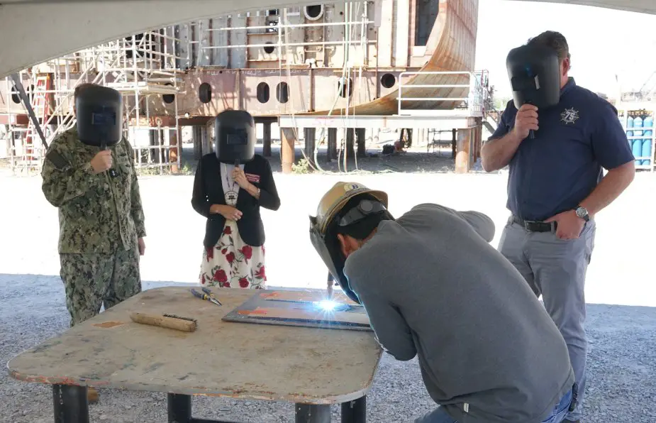 Keel laying ceremony of the eight Pathfinder class survey ship T-AGS-67. (Picture source: US DoD)
Equipped with a moon pool for unmanned vehicle deployment and retrieval, T-AGS 67 will be a multi-mission ship that will perform acoustic, biological, physical and geophysical surveys, providing much of the U.S. military’s information on the ocean environment. The vessel will be over 350 feet in length with an overall beam of 58 feet.
T-AGS 67 will be operated by the Military Sealift Command (MSC). MSC consists of non-combatant, civilian crewed ships that replenish U.S. Navy ships, chart ocean bottoms, conduct undersea surveillance, tactically preposition combat cargo at sea, and move military equipment and supplies used by deployed U.S. forces around the world.
As one of the Defense Department’s largest acquisition organizations, PEO Ships is responsible for executing the development and procurement of all major surface combatants, amphibious ships, special mission and support ships, and special warfare craft.
About the Pathfinder class survey ships
The Pathfinder-class survey ships are owned by the United States Navy and operated by Military Sealift Command for the Naval Oceanographic Office ("NAVOCEANO"). They have mostly civilian crews, including scientists from NAVOCEANO.
The Pathfinder-class survey ships have three multipurpose cranes and five winches plus a variety of oceanographic equipment including multi-beam echo-sounders, towed sonars, and expendable sensors.
These ships are capable of carrying 34-foot (10 m) hydrographic survey launches (HSLs) for data collection in coastal regions with depths between 10 and 600 meters (33 and 1,969 ft) and in deep water to 4,000 meters (13,000 ft).
A small diesel engine is used for propulsion at towing speeds of up to 6 knots (11 km/h; 6.9 mph). HSLs carry SIMRAD high-frequency active hull-mounted and side scan sonars.
USNS Maury, the most recent addition to the survey ship fleet, is equipped with an 18-by-18-foot (5.5 by 5.5 m) moon pool for deploying and retrieving a variety of mission systems, including autonomous underwater vehicles (AUV).